I've always been curious about how the river lock system works here, so Sunday afternoon, September 3rd 2017, I went down to the wharf and took a cruising tour on the Belle of Louisville, which is a 103 year old steamboat, owned by the city of Louisville, Kentucky.
The McAlpine Lock system(https://en.wikipedia.org/wiki/McAlpine_Locks_and_Dam) controls the river level here so boats can navigate the abrupt change in elevation known as The Falls. Long before the Lock system was created, this rough river terrain caused people to stop and use the shore to move their boats downstream, thus making overnight stays necessary at the new frontier town of Louisville, established in 1778.


The McAlpine Lock system(https://en.wikipedia.org/wiki/McAlpine_Locks_and_Dam) controls the river level here so boats can navigate the abrupt change in elevation known as The Falls. Long before the Lock system was created, this rough river terrain caused people to stop and use the shore to move their boats downstream, thus making overnight stays necessary at the new frontier town of Louisville, established in 1778.
Here are my pictures, and links to sixteen short videos, from my journey.
Click on the pictures for full-size images.
Click on the pictures for full-size images.
The Belle of Louisville, where the voyage begins, docked on the wharf:

Just pulled out of our docking spot, and heading Westward, downriver:


Headed toward the 14th St. Railroad Bridge(https://en.wikipedia.org/wiki/Fourteenth_Street_Bridge_(Ohio_River)):


Going under the 14th St. Bridge:

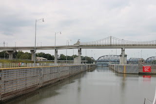
Headed toward, and into, the Lock:


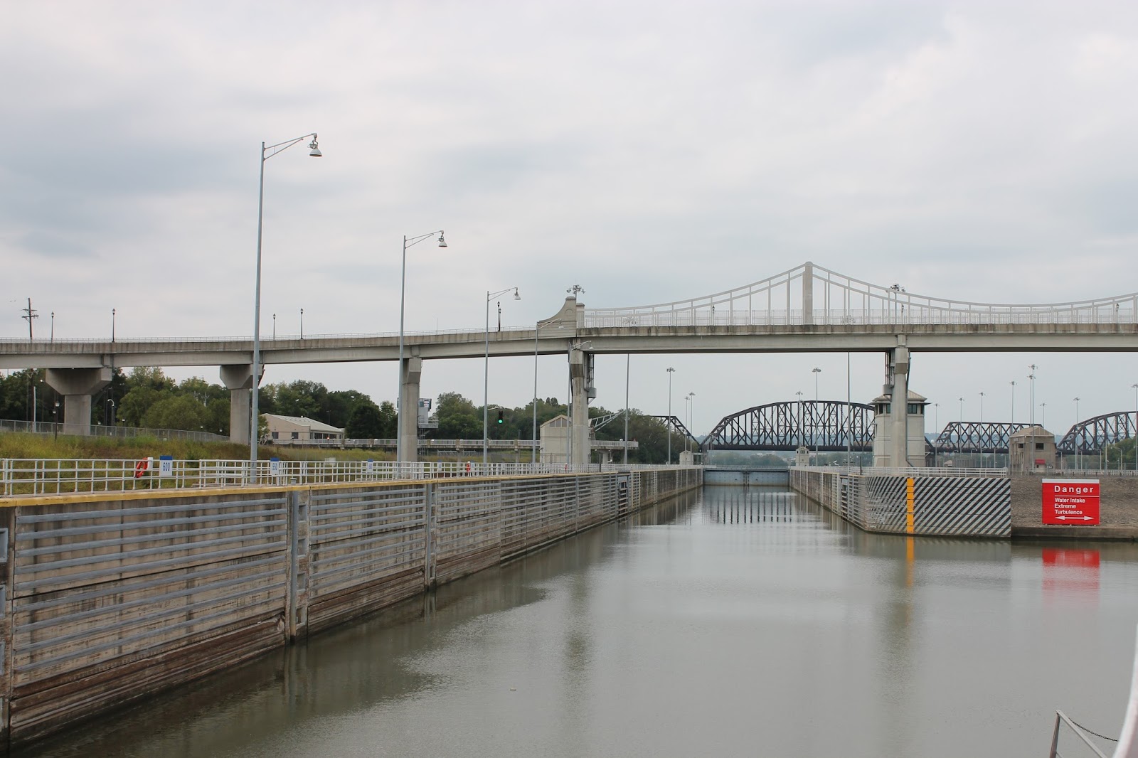
Headed into the Lock:
Inside the Lock - Water level lowered, and doors opening:


Out of Lock and headed west, downriver:

Turning around, just west of the K & I Railroad bridge(https://en.wikipedia.org/wiki/Kentucky_%26_Indiana_Terminal_Bridge), and heading back East:
Back inside Lock, and water level refilled:
Looking back from boat's stern, as we head East, back upriver:

Bye, bye.
Comments
Post a Comment